Robotic Helicopter for Monitoring Natural Reserves
|
The objective of this project is to apply a robotic helicopter for environmental monitoring in the wetlands, particularly at the Tijuana River National Estuary. The use of robotic helicopter boosts the speed and frequency of environmental monitoring efforts and broadens the area monitored, while lowering operational costs and increasing personnel safety. The project consists of research and development of software and hardware for the helicopter to fly autonomously. The robotic helicopter takes off; flies over prescribed routes specified on a ground station (laptop) and obtains high-resolution images, and lands, all autonomously. The images are corrected for distortion due to helicopter attitude, and are geo-referenced, all automatically using various helicopter sensor readings.
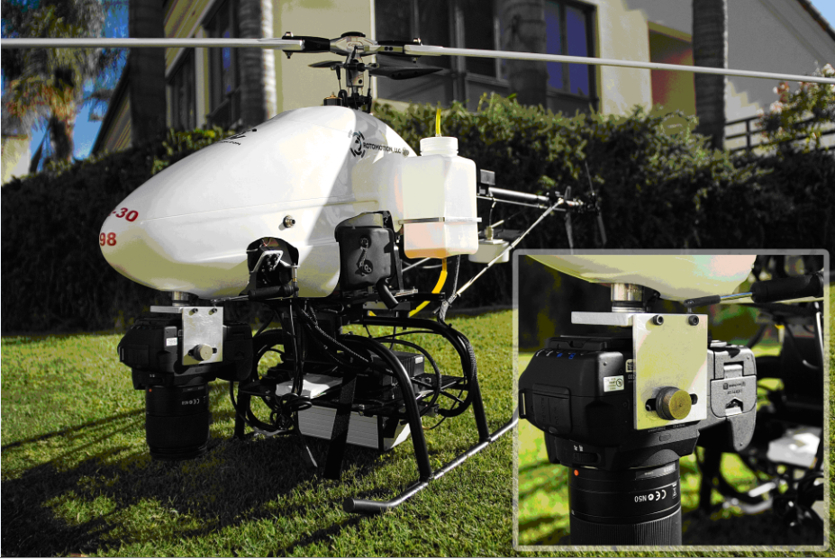 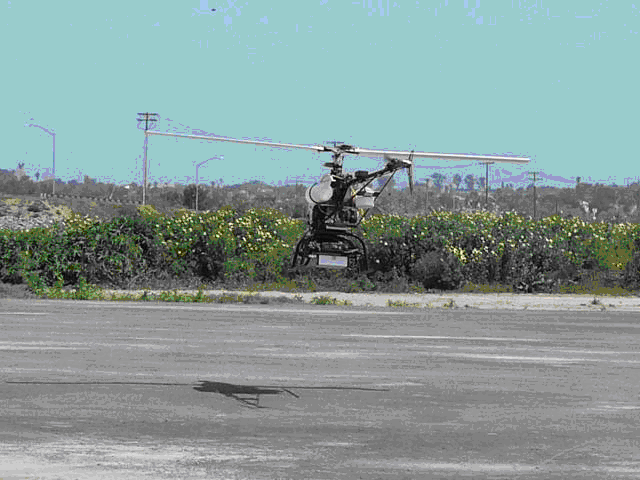
The research and development for the project has been conducted at the Intelligent Machines and Robots Laboratory over a period of 18 months. Field trials have been conducted around Tijuana River National Estuary. The project was funded by the Science and Technology Program of San Diego Foundation which provides funding for innovative research to benefit the region. This work provides an effective tool for land managers and researchers to monitor locations that are too dangerous, sensitive or costly to reach on foot or boat. In addition it provides a way to monitor progress of vegetation restoration, since going there on foot would damage recovering habitat or disturb sensitive species. Images obtained immediately after a storm can be used to determine water levels and degree of flooding.
|
